


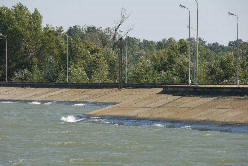
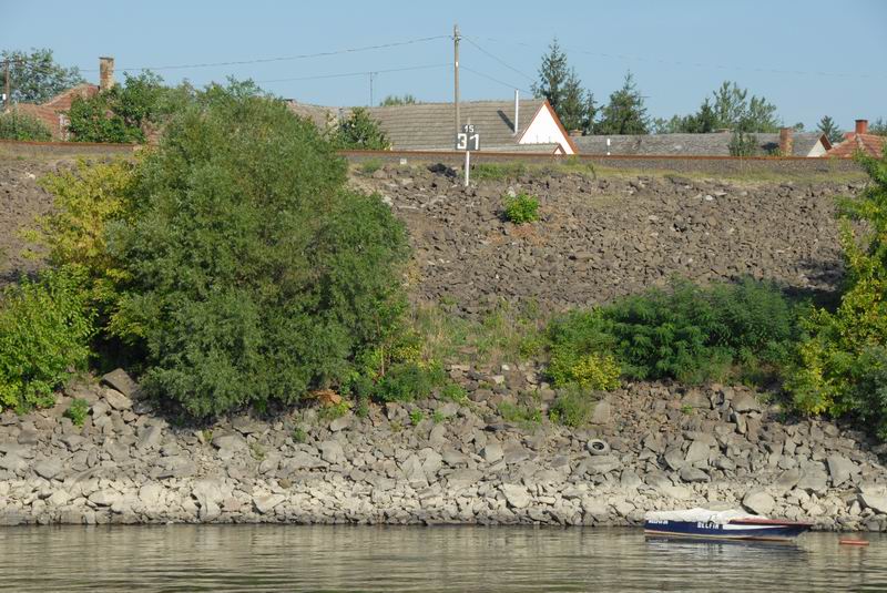
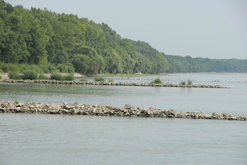

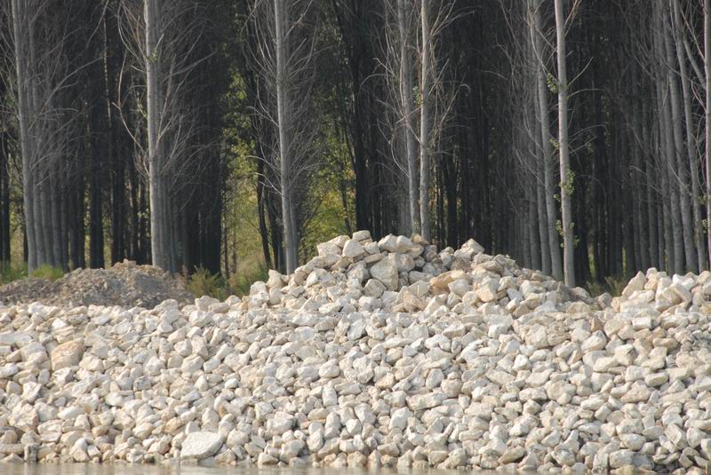

To have good ecology, the Danube and its tributaries must serve as habitat for characteristic animals and plants, and therefore provide typical structures required for such habitat. Examples include various forms of river beds and banks, variations in river depth and width, near-natural bank vegetation, dynamic water flows and natural connections with floodplains.
It is clear that broadly assessing the hydromorphology of a river as grand as the Danube cannot be fully achieved in one campaign such as the JDS2. However, it is a good first step to raise awareness about this theme. Furthermore, the results from the assessment will be able to show which national activities directed at improving river habitat structures, to meet WFD goals, are the most important. Last but not least, near-natural river stretches are more attractive for some human uses such as recreation.
In the office and in the field
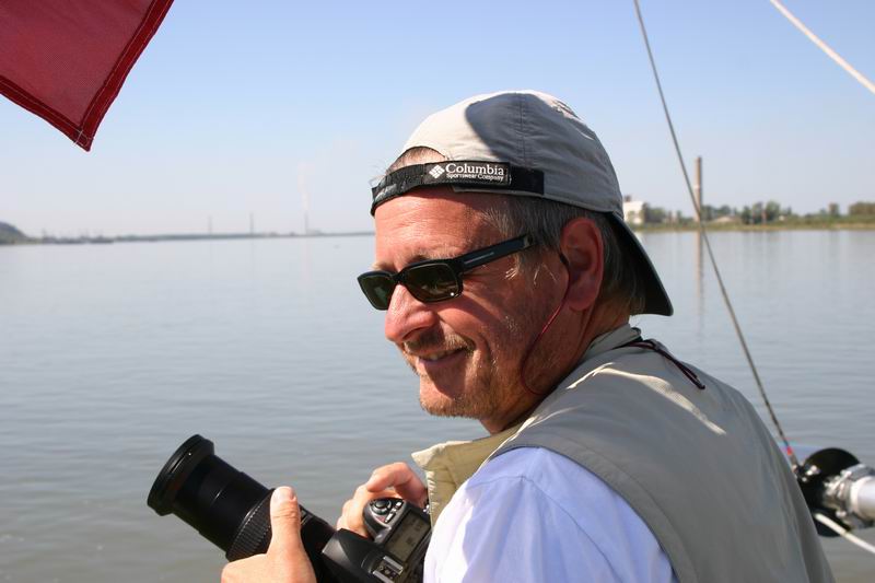
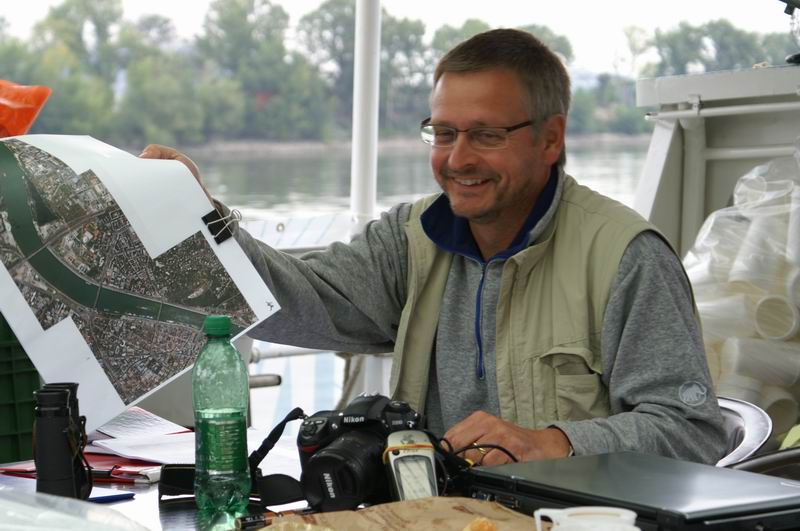
The JDS2 work related to the Danube's hydromorphology is being performed by the two-man team of Wolfgang Kraier from the Bavarian Environment Agency in Augsburg, Germany, working on-board the ship, and Dr. Ulrich Schwarz from the company Fluvius, working from his office in Vienna.
They take a two-step approach to assessing hydromorphology. The first is an overview of the entire Danube, based on assessments of pre-subdivided individual river stretches averaging 50 km each in length. This is based mainly on currently available data such as aerial photos and navigation maps. The first impressions made before the survey are then checked in the field from the JDS2 ship, the Argus. "For example, the structures of river banks cannot be well-identified from maps, so we check them in the field," says Kraier. This overview prepares the data necessary for evaluating characteristics such as longitudinal and lateral continuum disruptions, main river engineering structures, floodplains and adjacent land-uses.
The second step is performing hydromorphological characterizations at all of the 95 JDS2 sampling sites. These are especially important in supporting the interpretation of the biological results of the JDS2 - biologists help determine what organisms are living where, while hydromorphologists help to assess whether the necessary river structures are there to provide those organisms with habitat. Like step one, step two is a combination of work done in advance and work done in the field from the boat.
A key element of the field work is the photo documentation of the river - overall, this will result in about 10,000 photos by the end of the survey. Kraier also took many photos of the river's human and cultural aspects such as its buildings and uses - an added bonus alongside the hydromorphological overview.
Kraier adds that he will probably be the only member of the JDS2 Core Team who has seen the whole Danube, having been on deck in every type of weather condition from dawn until dark. "Most of the others had to do some work in the lab below deck, and even the ship Captains changed regularly," he says.
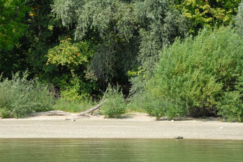
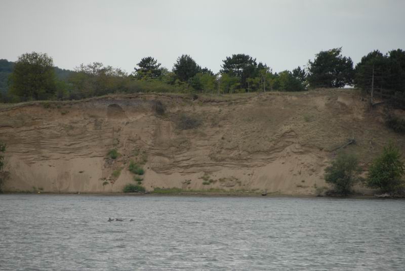
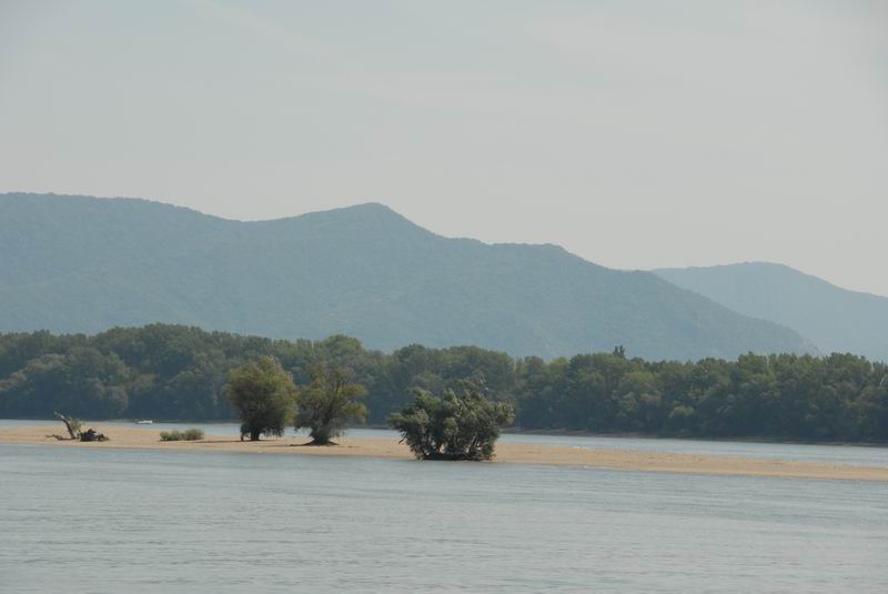
*Pictures to the right represent some of the river structures, natural and artificial, captured by Kraier's camera.
